Summary of Geology:
(see the Excursion
Guide)
Key Points:
Dalry - Lynn Glen
Lower Lynn Limestone is seen near the car
park - with crinoids. Followed upwards by the Upper Lynn
Limestone - with shale bands - at waterfall. These units belong to
the Upper Limestone Formation, belonging to the Namurian Series of the
Carboniferous.
Top of glen - massive and cross-bedded
sandstones, well seen on north side of glen - Passage Formation (Millstone
Grit).
From upper bridge - lowermost Coal
Measures strata, (downfaulted ), Westphalian Series, can be seen across
the burn - poor coals at top.
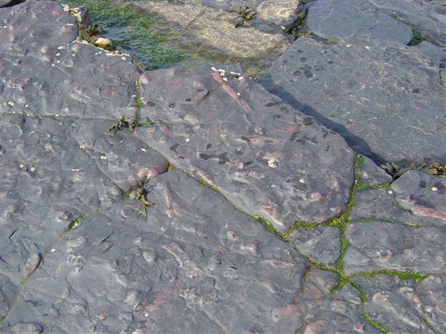
Saltcoats
Mainly sediments of Coal Measures (Westphalian)
age, dipping (and therefore younging) to the south or south-east with a
strongly discordant coastline, i.e. the strike of beds is at right
angles to the coast, with hard beds standing out as peninsulas while
softer beds occupy intervening bays.
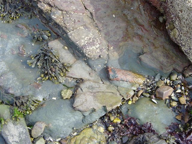
Ayrshire Bauxitic Clay at base of sill - coal conversion to
columnar coke - base of sill altered to white trap. Main sill
of hard, light coloured teschenite (alkali dolerite) at top and bottom -
soft, olivine and pyroxene rich picrite in between.
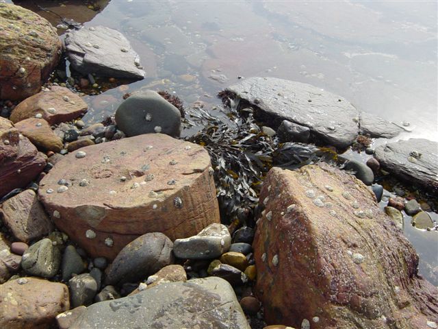
Fossil tree stumps (~30) in sandstones
exposed at low tide in Saltcoats harbour.
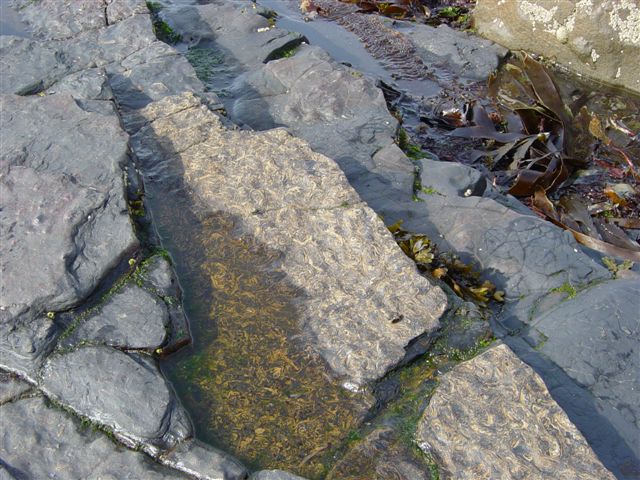
South and east of the pier sill - hardened, baked
non-marine mussel bands and coal.
|